Sarika Land, Nakhon Nayok — Ten Plots in Three Groups, THB187.909M
92 views66,339.3 sq.wah
Land area
10
Plots
Price
Average ฿2,833/sq.wah
Land details
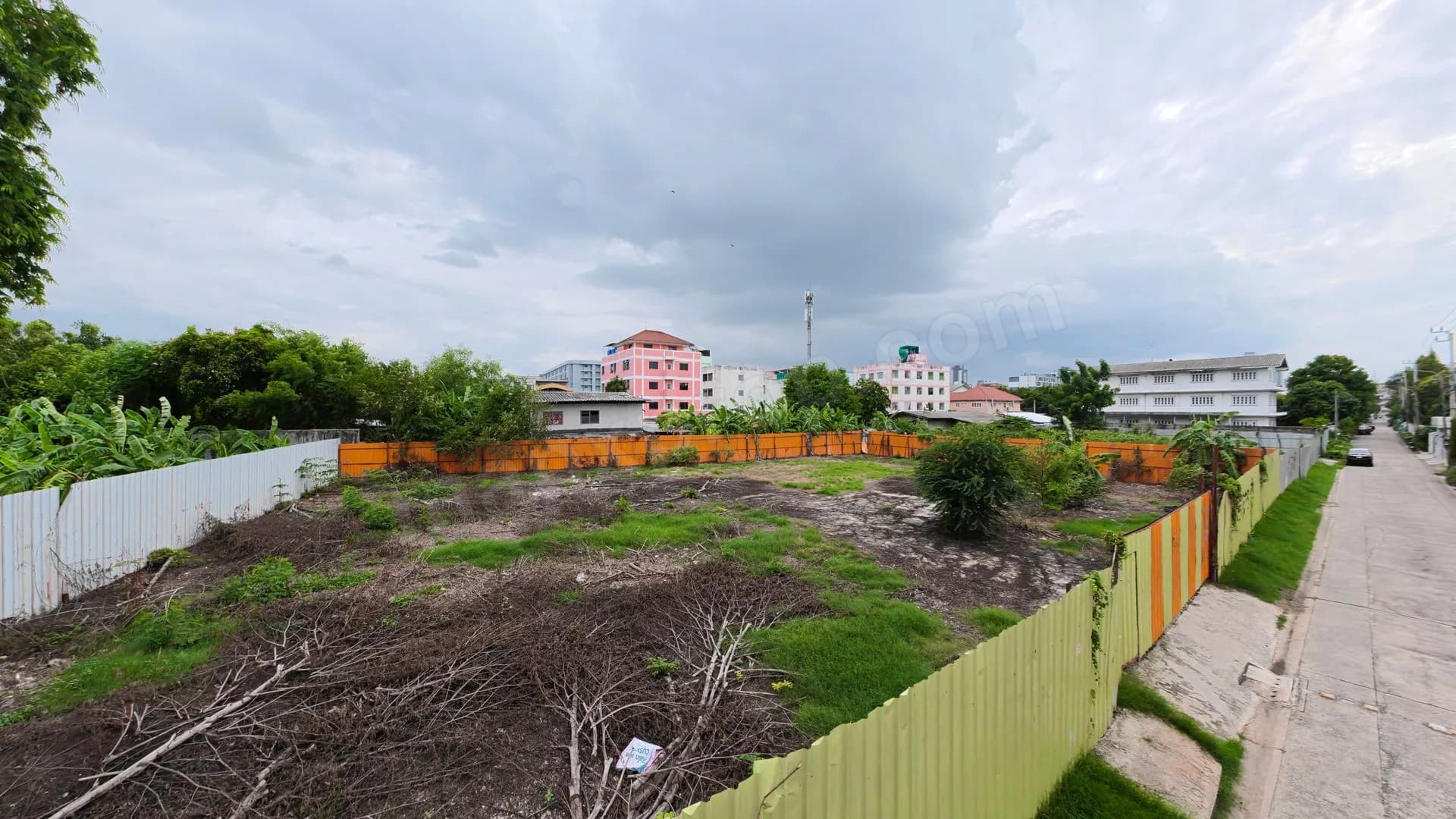
Ten land plots in Sarika, Mueang Nakhon Nayok, Nakhon Nayok, near Highways3049 and3050. Total165 rai3 ngan39.3 sq.wah, or66,339.3 sq.wah (265,357.2 sq.m.). SAM announced price THB187,909,000, asset4T0953; approximate source unit price THB2,833/sq.wah, total price governing. Documents comprise one Chanote Tra Chong certificate120 and nine Chanote titles9597,9598,10206,10394,10395,10404,13239,13240,16669; not all the same title type.
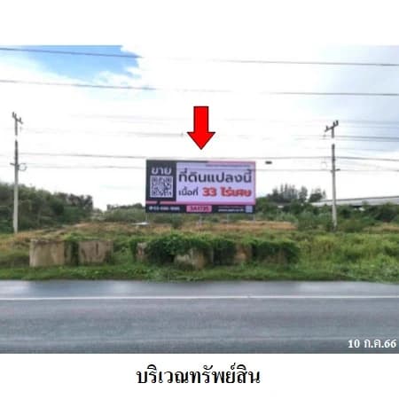
Group1: six plots,92 rai3 ngan58 sq.wah. Approximately124m southern frontage on public Highway3049, maximum depth880m, western canal frontage810m along Khlong Ruea and Khlong Sarika. Uneven natural terrain. SAM reports basic utilities available. Highway3049 has four lanes, shoulders and a bicycle lane, approximately18–20m wide.
Group2: two plots,8 rai84 sq.wah. Approximately240m western frontage on public Highway3050 to Sarika Waterfall, depth48m; north/east adjoin Khlong Sarika. Uneven terrain, basic utilities according to SAM. Two-lane paved road with shoulders, approximately10m wide.
Group3: two plots,64 rai2 ngan97.3 sq.wah. No road frontage. Khlong Ruea and Khlong Sarika separate it from groups1/2, and SAM reports no bridge crossing. Approximate boundaries320m north along Khlong Ruea,110m south,710m east and645m west along canals/neighbouring land. Uneven terrain; approximately100m from utilities.
The three groups are nearby but not one continuous accessible site. Road frontage and utilities of groups1/2 must not be attributed to group3. Verify legal and practical access to group3 and relevant permissions for any proposed canal crossing; no automatic bridge-building right is assumed.
SAM reports green zoning, agricultural/tourism surroundings near Sarika Waterfall,Wang Takhrai Waterfall,Khun Dan Prakan Chon Dam and Sarika local administration office. From Nang Rong Waterfall toward Sarika on Highway3049,pass Wat Suan Hong to approximatelykm11+500; land on the right. Verify permitted use for the proposed development.
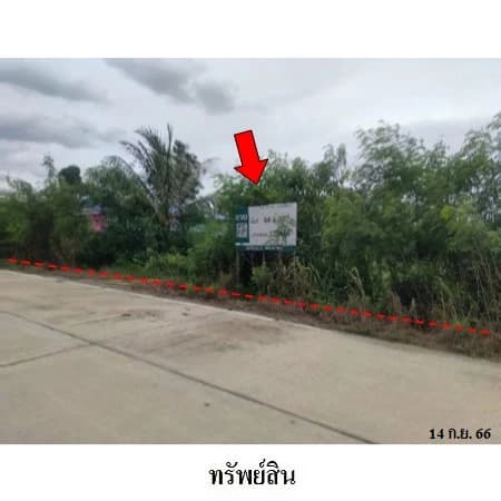
Fifteen authentic source photos/plans include dates5 April2022 and30 May2022. Inspect present condition. Navigation/map agree14.287840,101.278520,a reference point for the asset set rather than individual group boundaries. Price/direct-sale status checked15 September2026. Contact SAM02-686-1888,sales@sam.or.th or LINE@samline quoting4T0953.
Location and directions
Mueang Nakhon Nayok · Nakhon Nayok
Nakhon Nayok–Nang Rong Highway3049,km11+500 area Three groups near Sarika Waterfall access Highway3050
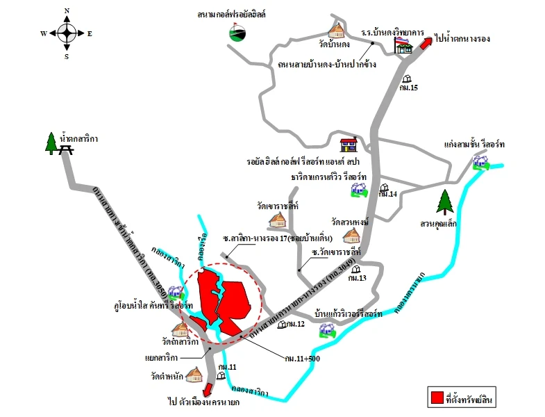 Location map supplied by the advertiser
Costs and conditions
- Sale method SAM direct purchase4T0953 THB187909000
- Group3 has no road frontage or bridge 64rai2ngan97.3sq.wah separated by canals; no bridge according to SAM; verify access
- Mixed title documents One Chanote Tra Chong120 and nine Chanote titles
- Utilities by group SAM reports utilities for groups1/2; group3 approximately100m from utilities
Contact advertiser
Verified organizationSales and Sales Promotion Department — SAM
SAM Sukhumvit Asset Management