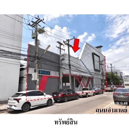
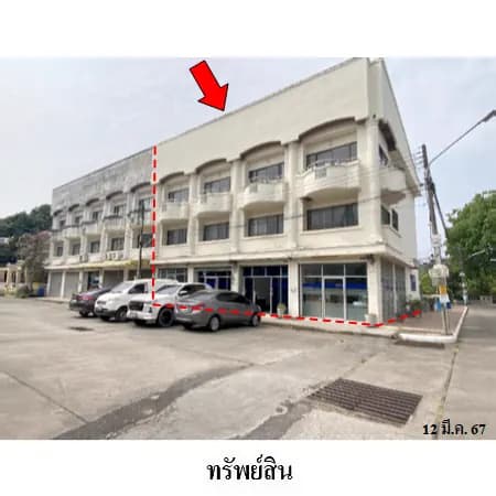
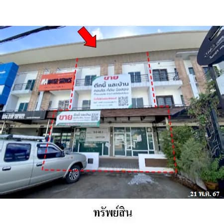
Four Contiguous Land Plots with Ponds, Waeng Noi
120 views1,400 sq.wah
Land area
4
Plots
Vacant land
No structures
Price
Average ฿2,409/sq.wah
Land details
Four contiguous vacant-land plots in Waeng Noi, Waeng Noi, Khon Kaen, under title deeds 22360, 22362, 22363 and 22364. The announced total area is 3 rai 2 ngan, or 1,400 sq.wah (5,600 sq.m.). The SAM page lists THB 2,409 per sq.wah.
The approximately rectangular property has about sixty metres of northern road frontage and a maximum depth of about ninety-five metres. Average land level is approximately 0.2 metres below the road. Buyers should verify all four title deeds, survey, contiguous boundaries, frontage, depth, actual levels, fill requirements and drainage before offering.
There are two ponds approximately 1.5 metres deep. Their approximate dimensions are 6 x 40 metres and 15 x 40 metres, with a combined area of about 210 sq.wah (840 sq.m.). Buyers should verify their positions, dimensions, depth, soil conditions, safety, drainage, water rights and the cost of filling or modifying the site for the intended use.
The property fronts Thetsaban Soi 12, which SAM describes as a public-utility concrete road approximately five metres wide within an approximately six-metre right of way. Buyers should ask SAM, the Land Office and local authorities to confirm boundaries, public-road status, actual access and the right of way.
SAM describes the surroundings as residential and agricultural and identifies two planning zones: pink community and green rural-agricultural. MapxProp therefore places the listing in homes discovery with residential and agriculture use cases, not mixed use or business discovery. These descriptions do not guarantee construction or agricultural use. Buyers must confirm the exact planning-zone boundary, current land-use controls, building regulations, subdivision rules, access, water sources, utilities and permits directly with the relevant authorities.
Source property photos display 15 August 2023. Conditions may have changed. Buyers should inspect vegetation, ponds, land level, filling, drainage, flooding, boundaries, access, utilities, possession, encumbrances, taxes, costs and every current term before deciding.
Price and contact
The SAM page listed the property for direct purchase at an announced THB 3,372,000 when checked on 10 September 2026. It was not shown as an auction. Contact SAM directly to confirm availability, offer procedures, current price, promotions, costs, possession and latest terms. SAM Sales: 02-686-1888; Call Center: 1443; LINE: @samline. Property ID: 3A1879. MapxProp does not collect deposits or represent SAM in the transaction.
Location and directions
Waeng Noi · Khon Kaen
Four contiguous land plots on Thetsaban Soi 12 Access from Ban Si Mueang-Ban Nam Sap Road
Nearby places
- Thetsaban Soi 12
- Ban Si Mueang-Ban Nam Sap Road
- Mueang Phon-Tha Nang Naeo Highway 2065
- Waeng Noi Suksa School
- Waeng Noi Police Station
- Waeng Noi District Office
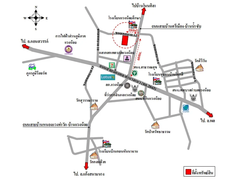 Location map supplied by the advertiser
More location information
Nearby places named by SAM include Waeng Noi Suksa School, Waeng Noi Police Station and Waeng Noi District Office. SAM's directions use Mueang Phon-Tha Nang Naeo Highway 2065 from Phon toward Khon Sawan, passing Waeng Noi Subdistrict Municipality Office, Ban Khok Si Community School, the Waeng Noi Land Office and Waeng Noi District Office. At the District Public Health Office junction, turn right onto Ban Si Mueang-Ban Nam Sap Road for approximately 600 metres, then left into Thetsaban Soi 12 for approximately 180 metres. The property is on the left.
Costs and conditions
- Sale method Direct purchase from SAM — contact SAM to submit an offer
- Announced sale price THB 3,372,000 or THB 2,409 per sq.wah — confirm the latest price and promotions with SAM
- Four contiguous plots Title deeds 22360, 22362, 22363 and 22364 total 3 rai 2 ngan — verify the survey and boundaries of every plot
- Ponds on the land Two ponds approximately 1.5 metres deep, measuring about 6 x 40 metres and 15 x 40 metres, with a combined area of about 210 sq.wah
- Land level Average land level is approximately 0.2 metres below the road — verify actual levels, filling, drainage and flooding
- Frontage road Thetsaban Soi 12 is described as a public-utility concrete road approximately five metres wide in a six-metre right of way
- Dual-zone planning review SAM identifies both pink community and green rural-agricultural zones; verify the boundary and current controls before planning any use
- Buyer due diligence Verify all four title deeds, survey, boundaries, ponds, land level, filling, drainage, flooding, access, planning, utilities, possession, encumbrances, costs and latest terms
Contact advertiser
Verified organizationSales and Sales Promotion Department — SAM
SAM Sukhumvit Asset Management